
Not every GIS career begins with a Geography degree. Sometimes it starts with a curiosity about nature, a single module that opens an unexpected door, and a willingness to follow where the work leads. We spoke with a GIS professional currently working with one of our clients about their remarkable journey – from studying Zoology in Nigeria to becoming a practising GIS Technician in Glasgow. It is a story about curiosity, resilience, and the transformative power of spatial thinking.
The Geography Degree – An Unexpected Starting Point
The journey into geospatial work began not with a Geography degree, but with Zoology. It was during an undergraduate Biogeography module that the importance of location in understanding natural and human systems first became clear – a moment that would quietly set the course for everything that followed.
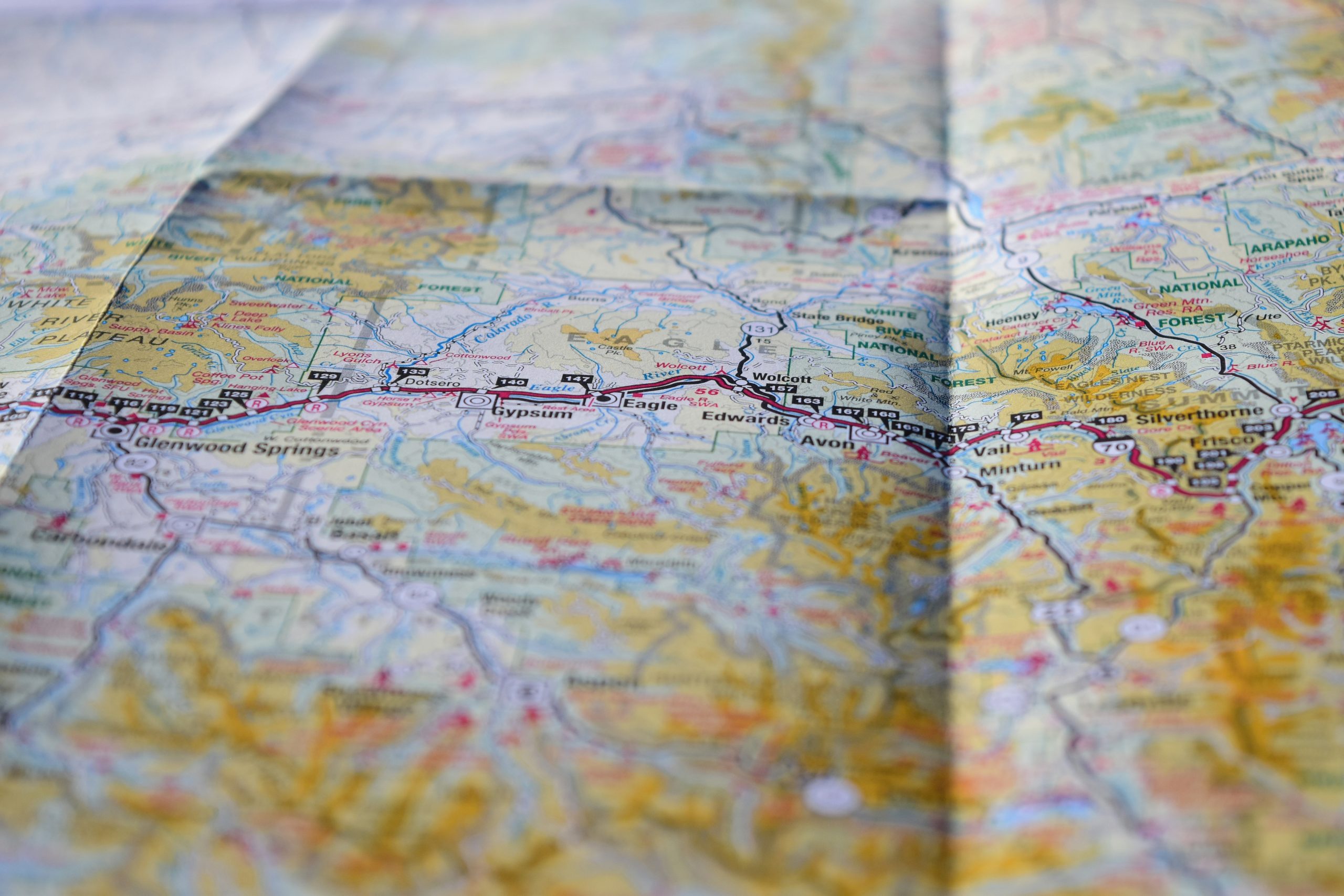
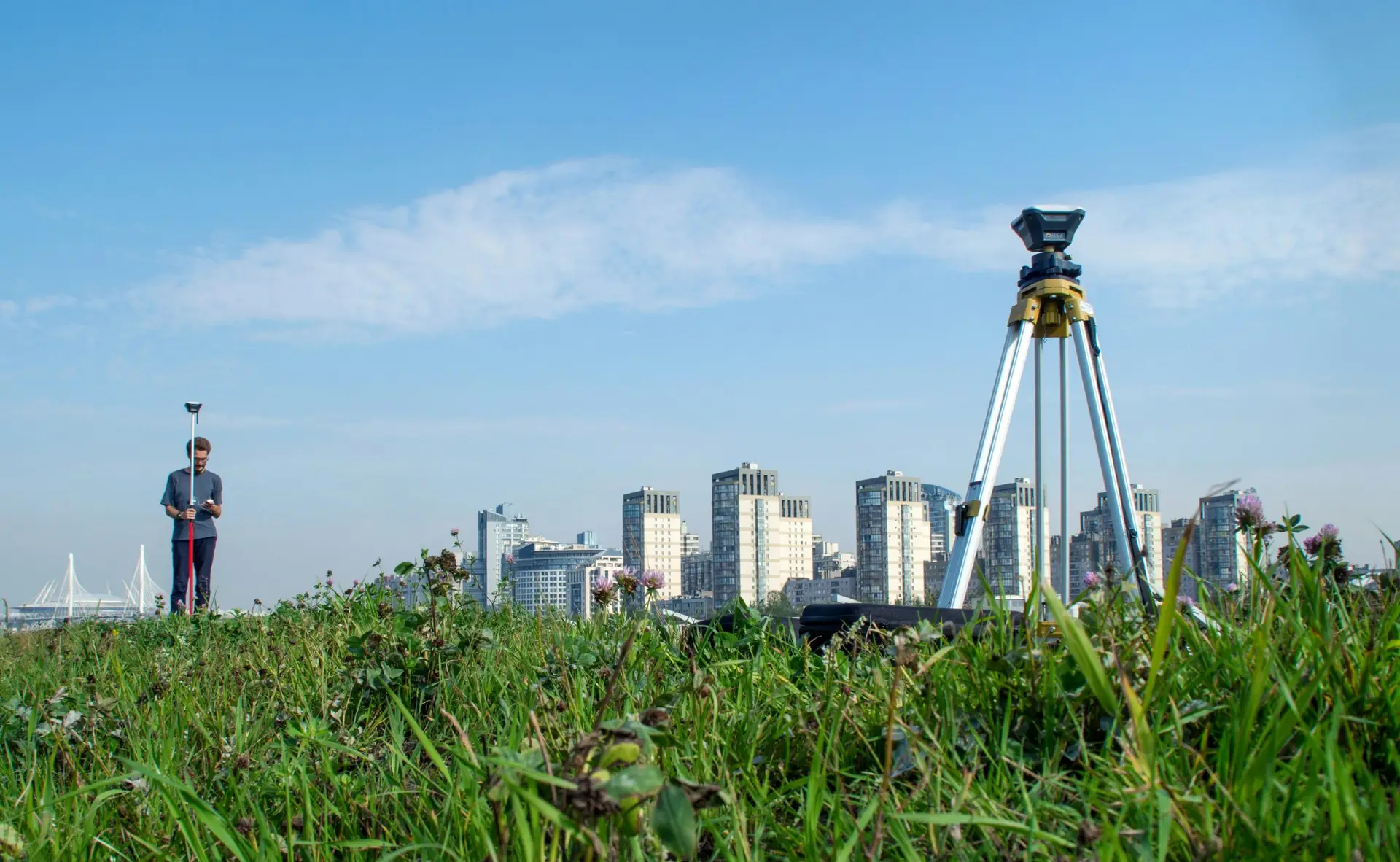
After graduating, a role as a Cartographer with the National Population Commission in Nigeria provided the first real exposure to GIS in a professional setting. Working on map production, field mapping, and spatial data management at a national scale, the value of geographic information as a tool for planning and decision-making became tangible.
“Through this experience, I began to appreciate how geographic information can be used to support planning and decision-making. It was during this time that GIS truly came onto my radar as a career path.”
That realisation led to a Master’s degree in Geographic Information Systems at the University of Lagos – a programme that provided strong academic training in spatial analysis, cartography, and geospatial data management.
“The programme gave me a solid technical foundation. But much of my understanding of GIS also came from applying those skills in real-world projects. The combination of academic training and practical experience is what really builds capability in this field.”
Making the Transition to a GIS Career
The decision to pursue GIS as a specialist career did not happen overnight. It was shaped by direct experience of what geospatial work can achieve in practice. At the National Population Commission, large-scale mapping initiatives involved mapping public facilities and settlements across multiple regions – work that required spatial data collection, cartographic production, and rigorous spatial analysis.
“Seeing how spatial data could improve understanding of population distribution and infrastructure needs showed me the real-world value of GIS. When you see a decision being made better because of the spatial analysis you have contributed to, it confirms that this is the right path.”
A guiding idea from postgraduate studies has remained central throughout the career that followed.
“One of my lecturers emphasised a concept that has stayed with me: location is a critical component of problem solving. Understanding where things happen can transform how we analyse problems and design solutions. That idea reinforced my decision to pursue GIS professionally, and it still guides how I approach my work today.”
Alongside formal study, continuous self-development has been a constant thread. GIS is a fast-moving discipline, and the commitment to staying curious and learning has been as important as any qualification.
Landing the First GIS Role
One of the most persistent challenges for those moving into GIS from a broader science or geography background is making the case to employers that spatial skills go far beyond map production. Addressing that perception head-on proved to be a crucial part of the job search.
“One of the challenges early in my career was demonstrating that GIS is much more than simply producing maps. GIS involves data management, spatial analysis, and problem-solving using geographic information. By highlighting projects where GIS supported real-world planning and decision-making, I was able to show the technical and analytical depth of the discipline.”
The combination of a Geography and spatial science background with hands-on project experience proved to be a compelling combination for employers.
“Employers generally recognised my background as a strong foundation because it demonstrates spatial awareness and analytical thinking. But the most valuable factor was always the practical experience I had gained through mapping projects and spatial data management. Highlighting both aspects allowed me to show that I could bring analytical thinking and technical capability together.”
Life on the Job – How a Spatial Background Shapes GIS Practice
In practice, the Geography and spatial science background has proven to be far more than a route into the industry. It actively shapes the way geospatial work is approached on a daily basis.
“My Geography background continues to shape the way I approach GIS work in practice. Rather than viewing spatial data simply as technical layers, I think about the geographic context behind the data – how people, environments, and infrastructure interact across space. That way of thinking influences everything, from how I structure an analysis to how I communicate findings.”
Early career development focused on building a strong technical foundation – geodatabase management, spatial data quality control, and GIS analysis – skills honed through national-scale mapping projects that demanded high levels of accuracy and consistency.
A New Chapter – Rebuilding a Career in the UK
Relocating to the United Kingdom in 2023 brought a significant new challenge: re-establishing a professional identity and career in an unfamiliar market. It is a challenge that many internationally experienced GIS professionals face, and one that requires both persistence and strategic thinking.
“One of my colleagues from the University of Lagos who is also practising GIS in the UK emphasised the importance of professional networks and continuous development when rebuilding a career in a new environment. Taking that advice seriously made a real difference to how I approached the transition.”
Engagement with professional communities played a central role in that transition. Becoming active with the Royal Geographical Society (with the Institute of British Geographers) and the Geographical Association, while maintaining connections with the GIS Association of Nigeria, provided access to the latest developments in the field and opened new professional relationships.
Today, working as a GIS Technician in the UK, the journey continues – applying geospatial skills in a dynamic environment, contributing to geographic data projects, and continuing to grow as a professional.
Advice for Geography Graduates and Those Considering GIS
For students and graduates thinking about a career in GIS, the advice is practical, direct, and genuinely encouraging.
“Combine your geographic understanding with strong technical skills. Geography teaches you how to think spatially and understand complex relationships between people and the environment, while GIS gives you the tools to analyse and visualise those relationships. Those two things together are more powerful than either one alone.”
The practical steps are equally important.
“Take every opportunity to work with real datasets, develop proficiency in GIS software, and build a portfolio of spatial projects that demonstrate your problem-solving ability. The geospatial industry continues to grow across many sectors – from environmental management and infrastructure planning to publishing and data science – so developing both analytical thinking and technical capability can open many doors.”
A Closing Reflection
Looking back across a career that has spanned two continents and multiple sectors, what stands out is not the qualifications or the job titles, but the consistent thread of curiosity and a desire to use spatial thinking to make sense of the world.
“From discovering the importance of spatial patterns during my studies, to working on national mapping projects, and later rebuilding my career after relocating to the United Kingdom, each step has strengthened my understanding of the value of geospatial technology. The journey continues to be about growing as a GIS professional, contributing to meaningful projects, and using spatial thinking to better understand and solve real-world problems.”
From a Biogeography module to a national mapping agency, from a Master’s degree in Lagos to a GIS role in the UK – this is a career built on curiosity, continuous learning, and a genuine belief in the power of location. It is a story that will resonate with anyone at the start of their own geospatial journey, wherever in the world that journey begins.