
In the first article in this series, we heard from a GIS professional whose career had taken them from Nigeria to UK, by way of Zoology, national mapping projects, and a fresh start in a new country. In this second instalment, we meet another GIS Technician currently working with one of our clients. The starting point is similar, a Geography degree and a restless curiosity about the world, but the route taken is quite different. What both accounts share is a conviction that understanding where things happen is fundamental to addressing the challenges that matter most.
Geography as a Way of Seeing the World
For many people, Geography is a school subject. For others, it is a lens through which they have always viewed the world. Our second interviewee falls firmly into the latter camp. Long before any formal study began, there was already a deep interest in the relationship between people and the environments they inhabit.
“As a young lad, I have always been fascinated by the interconnectivity between our environment and human activities. I started my journey in Geography curious and inquisitive about the world and how it affects us as humans. However, as I progressed in my studies, I realised that geography goes beyond just the interaction between physical and human environments.”
It was during undergraduate study that the more technical dimensions of the discipline began to emerge. Modules in remote sensing and data analysis introduced methods and tools that felt less like abstract theory and more like practical instruments for answering real questions.
“During my undergraduate degree, I took several courses such as remote sensing, which focused heavily on GIS and data analysis. These courses gradually shaped my interest in pursuing a career path centred on GIS.”
From Lecture Theatre to Local Council
After completing an undergraduate degree, the move into professional life came through a position as an Assistant Urban Planning Engineer with a local council. It was a significant early opportunity, placing a new graduate directly into a live working environment alongside seasoned practitioners.
“I was fortunate to work under experienced professionals in the industry. During this time, I was exposed to GIS as a professional career path. I collaborated on cartography and data analysis projects within the city and interpreted analysed data for senior engineers to support decision-making for urban development.”
Working with live datasets in a professional setting quickly revealed a gap between what had been covered in the classroom and what the role actually demanded. Rather than allowing that gap to widen, the decision was taken to address it directly.
“Working with the council exposed me to real-world datasets. I realised that to confidently work with such data, I needed to develop additional technical skills. This motivated me to enrol in an MSc in GIS and Remote Sensing, specialising in cartography and data management.”
Going Beyond the Qualification
The MSc provided rigour and structure, but the appetite for development extended well beyond the course syllabus. Recognising that modern geospatial roles increasingly require programming capability alongside spatial expertise, additional time was invested in self-directed study of Python and SQL.
“While the university provided a strong academic foundation, I also took the initiative to self-educate in programming languages such as Python and SQL for data visualisation and database management. These skills have been extremely helpful in my current role.”
That investment has paid off in a tangible way. The combination of academic credentials and technical certifications has opened doors that a single qualification alone would not have unlocked, and has made for a significantly more versatile professional profile.
“Having both a Geography and GIS background has significantly broadened my career opportunities. By combining my academic degrees with certifications in programming languages, I can pursue roles not only as a geographer but also as a cartographer, GIS technician, GIS specialist, GIS technologist, GIS architect, or GIS developer.”
Standing Out During the Search
Finding the right role in a niche field takes more than submitting applications and waiting. The advice offered here is direct and rooted in what has actually made a difference.
“Searching for a new role, whether entry-level or experienced, is never easy. However, having both academic qualifications and practical experience can help you stand out during job applications. Optimising your LinkedIn profile and engaging in freelance GIS projects can also provide recruiters with evidence of your capabilities beyond what is listed on your CV.”
Getting through to interview is only part of the challenge. In a field where many candidates can present credible CVs, it is performance under scrutiny that ultimately distinguishes the strongest applicants.
“Every GIS professional may appear qualified on paper, but interviews, whether practical or oral, are where knowledge is truly tested. Therefore, I strongly recommend continuous practice and keeping up to date with industry developments by reading blogs and updates from major GIS software providers.”
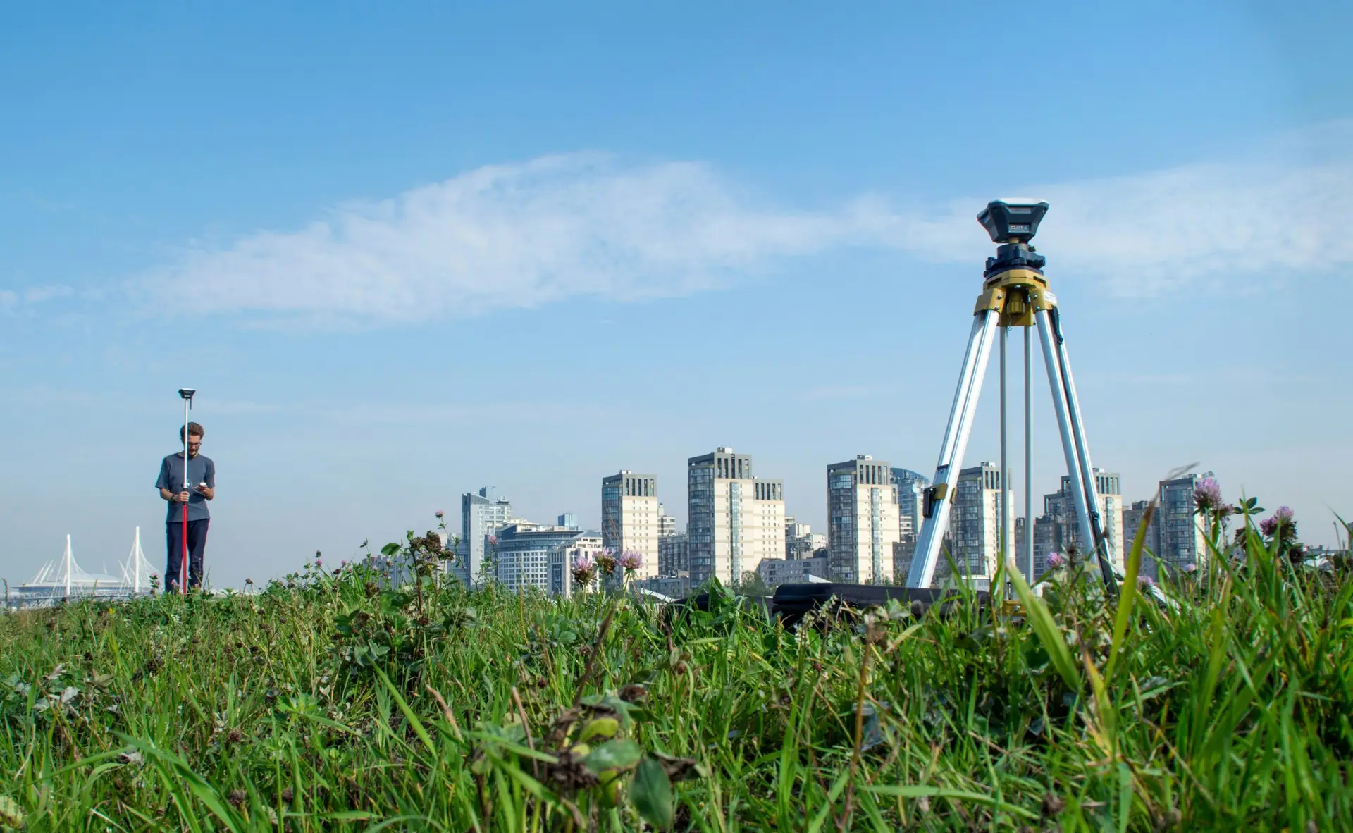
The Weight of Real-World Data
Working as a GIS Technician in a live client environment has brought one lesson into sharp focus: the outputs of this work are not theoretical. They inform decisions that affect people, places, and organisations in concrete and lasting ways.
“One of the most valuable skills I have developed is analytical thinking, alongside a strong commitment to data accuracy. Since I work with real-world data, even a small mistake could alter real-life outcomes, which could be detrimental to both my clients and my organisation.”
This sense of professional accountability is one of the qualities that defines the best practitioners in the field. Technical competence matters enormously, but it is the understanding of what that competence is actually in service of that separates good from exceptional.
Looking Ahead: AI, Skills, and the Future of the Profession
For students and recent graduates weighing up whether geospatial is the right direction, the advice here is not just about what the industry looks like today. It is about where it is heading and how to position yourself to benefit from that trajectory.
“As the world continues to advance with artificial intelligence and data-driven technologies, it is important to learn how to use these tools to our advantage. AI is here to make our work more efficient if we understand how to use it properly. In addition to a degree, valuable skills to develop include programming languages, database management, and strong communication skills, which are essential when presenting findings to clients and project teams.”
And through all of it, the original motivation has never disappeared. The thread connecting a childhood fascination with the natural world to a professional career built on location data remains intact.
“GIS is fundamentally connected to our environment. Once geography provides you with an understanding of how the world works, GIS allows you to retrieve, process, analyse, and visualise data to predict environmental changes and their potential impacts.”
Two professionals, two very different journeys, and the same underlying conviction: that a Geography degree is not a ceiling but a foundation, and that the tools available to build on it have never been more powerful or more in demand. If you are a Geography student wondering where your studies might ultimately lead, these two accounts suggest the answer is almost anywhere.
Read Part One of this series: From Geography Graduate to GIS Professional: Navigating Your Career in the Geospatial Industry